Before I Put a House Beside the Water, I Want These Questions Answered
By Arthur · An illustrated owner’s guide
The sea view can do plenty of talking. I would give the paperwork a turn, too.
For entertainment and general understanding. These illustrations and questions are not legal advice, an electrical design, a construction specification or a site-specific professional assessment.
A sea view can make a property listing very persuasive. I can picture the blue water, the trees and the promise of a quieter morning. Then I reach the word “waterfront” and want to slow down. It is a lovely description, but it leaves quite a few questions unanswered.
I would want to know what comes with that view before letting the view do all the talking. It already has a considerable advantage over the paperwork.
A coastal project brings several different questions into the same beautiful view. Who holds what rights? Where does the public shore begin? Which environmental rules apply? What about the landing place? I would keep those questions separate long enough to get useful answers. This is an owner’s conversation guide, not legal advice or a complete Panama approvals checklist.
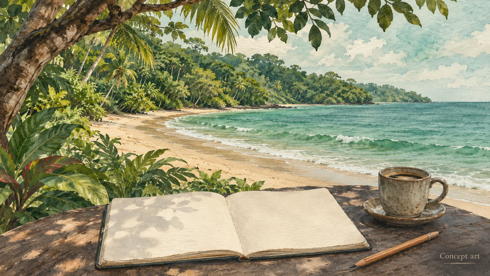
A coastal setting. Property rights and building permission need separate verification.
First, what exactly is being offered?
I would ask a local property lawyer and survey professional to connect the documents to the ground: the claimed rights, their holder, the parcel identity, boundaries, and any limitations. If someone says “possession,” “title,” or “concession,” I want the actual document and an explanation of what it establishes.
Panama’s environmental information system describes ANATI’s land-administration and titling role. Its summary of Law 80 also flags restrictions involving mangroves, protected areas, and indigenous or comarcal territories, with qualifications concerning earlier possession in protected areas. That is a reason for a specific legal review, not a shortcut for deciding a particular property’s status. SINIA’s ANATI overview ↗ (opens in a new tab)
I would put proposed work beside that review. Does the description include the access route, service areas and waterfront structures, or just the place where the bedrooms might sit? A tidy folder can still describe the wrong footprint.
The beach gets its own conversation
Article 258 of Panama’s Constitution identifies beaches and specified waters and shores as State public-use goods, subject to legal regulation. I would never read “waterfront” in a listing as permission to privatize the beach. Constitution, article 258 ↗ (opens in a new tab)
The practical questions need local answers: who establishes the relevant shore boundary, what public access must remain available, and how do the proposed paths, fences or stairs relate to it? I would ask the team to distinguish a private access right from public coastal access rather than draw one convenient arrow and call both solved.
A photograph taken at low tide cannot settle those questions. Neither can my preferred location for a hammock, persuasive though I may find it.
Look beyond the house-shaped rectangle
I would ask MiAmbiente and the local advisers which protected-area boundaries, habitat constraints and management rules need checking against the actual site. Mangroves deserve explicit attention. “There are already buildings nearby” would not be enough for me to leave that line blank.
There is a useful, sobering local example. In March 2025, MiAmbiente reported stopping work in mangroves near the Juan Díaz landing area within the Bahía de Panamá wetland. According to the ministry, the affected mangrove area was outside the permission granted, and the approved environmental study did not include mangrove cutting. This was a report about that particular project, not a verdict on every coastal site. MiAmbiente’s report ↗ (opens in a new tab)
My takeaway is to ask exactly what an approval covers. I would want the designer and environmental adviser looking at the same dated drawing, including temporary access and working areas. An approval elsewhere in the folder should not quietly become permission for an extra clearing beside the water.
Check the environmental rules being used today
This is one place where an old downloadable checklist can mislead. MiAmbiente’s July 2026 guidance identifies Executive Decree 4 of May 28, 2026 as the new environmental-impact-assessment framework. The Procuraduría’s official record lists its commencement on that date and records repeal of the 2023 and 2024 decrees. MiAmbiente’s announcement ↗ (opens in a new tab) · Official decree record ↗ (opens in a new tab)
I would ask a qualified environmental adviser to establish the applicable process with MiAmbiente for the complete proposal, including any transitional issues. I am not assigning a study category, an exemption or a threshold here. “It is only a house” gives too little information to do that responsibly.
For the first conversation, I would describe water supply, wastewater, vegetation work, access, shoreline works and construction staging alongside the house. The purpose is to expose questions early, not to invent my own approval sequence.
A dock needs more than a line on the house plan
On an island, I would want to understand the landing arrangement before imagining deliveries. Is there an existing facility with documented rights and conditions, or is the concept relying on something new?
The Autoridad Marítima de Panamá publishes an area-concession process and separate information headings for marinas, survey and bathymetric plans, and dredging. That makes AMP a relevant authority to consult about proposed maritime works; it does not establish that every small landing follows an identical process. AMP area concessions ↗ (opens in a new tab)
I would ask who confirms jurisdiction and requirements for this particular proposal. I would also keep practical boat access separate from permission to build or alter a facility. A boat reaching the shore answers only one of those questions.
Bring the questions together without merging the approvals
Land use and municipal construction approval deserve their own entries. MIVIOT warns that its published planning graphics are referential and that official procedures need certification from the competent urban authority. Panamá district’s DOYC separately describes its construction-permit process. That district example should not be copied into another municipality as its procedure. MIVIOT notice ↗ (opens in a new tab) · Panamá DOYC ↗ (opens in a new tab)
Here is the small meeting table I would use. It organizes questions rather than prescribing every necessary approval.
Questions to take to local advisers
Subject
What I would ask
What I would keep
Property rights
What rights cover this exact land?
Reviewed documents and surveyed identification
Public shore and access
Which boundaries and access obligations apply?
Dated explanation and relevant plan
Habitat and protected areas
Which restrictions affect the proposed work?
Authority response and specialist findings
Environmental assessment
Which current process applies to the whole proposal?
Written scope and next steps
Maritime works
Who authorizes this landing or waterfront work?
Applicable conditions and responsible authority
Land use and construction
What must this municipality confirm separately?
Certification, requirements and unresolved items
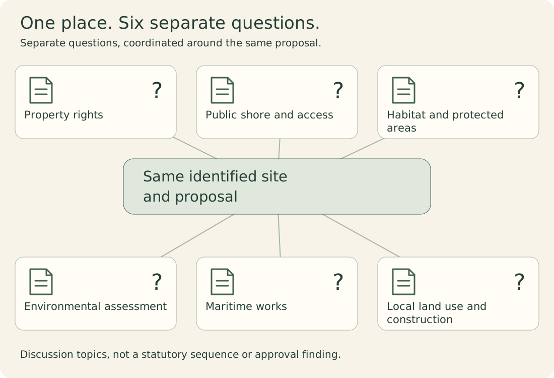
One place. Six separate questions.
Coordinate the same identified site and proposal across the conversations.
Property rights
What do the actual documents establish?
Public shore and access
Which boundaries and access duties apply?
Habitat and protected areas
What needs site-specific investigation?
Environmental assessment
Which review applies to this proposal?
Maritime works
What does the landing place involve?
Local land use and construction
What must the local authority confirm?
Questions to coordinate with local advisers and authorities, not a complete approvals checklist or a finding of buildability.
Questions to coordinate with local advisers and authorities, not a complete approvals checklist or a finding of buildability.
Leave room for the answer to change the dream
I would leave that meeting knowing what is established, what remains open, and who owns each next step. A smaller footprint, different landing arrangement or different site might become the sensible direction.
My research confirms the official notices cited here, not a parcel’s eligibility. Some full legal PDFs were inaccessible, and I have not verified a complete consolidated legal checklist. Get current, property-specific advice before committing to work.
Then bring the sketchbook back. The breakfast terrace is more enjoyable when the questions underneath it have real answers.
Sources behind the questions
Research checked 2026-11-08. External source links open in a new tab. Foreign sources explain principles, not Panama project requirements. Local examples do not replace confirmation for the property.